“Florida Prepares for Potentially Devastating Hurricane with Threat of Strong Winds and Storm Surge”
Florida is bracing for what could become the most powerful hurricane to hit the U.S. this season, as a developing storm system in the Caribbean gains strength and threatens to bring life-threatening storm surges and hurricane-force winds to the Southeast later this week.
The storm, currently building in the Caribbean Sea, is expected to rapidly intensify into Hurricane Helene as it nears the coast. According to the National Hurricane Center (NHC), the system, named Potential Tropical Cyclone Nine, is projected to move quickly, unleashing wind, rain, and storm surges across the Southeast before making landfall in Florida.
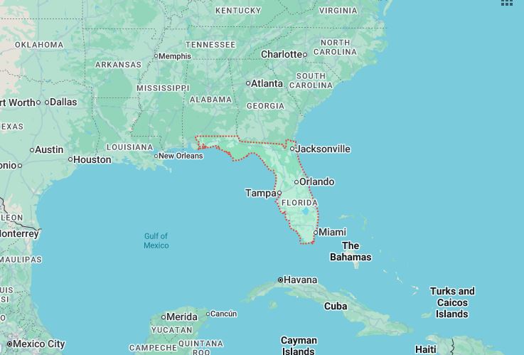
A hurricane watch is now in effect for Florida’s Gulf Coast from Englewood to Indian Pass, including Tampa Bay and Charlotte Harbor. The NHC’s latest update also includes tropical storm watches for areas north and south of the hurricane watch zone, stretching from Indian Pass to the Walton-Bay County line, and from north of Bonita Beach to Englewood. Additional tropical storm watches were issued Monday afternoon for Florida’s Dry Tortugas and part of the Keys, with a new watch in effect from Bonita Beach to Flamingo as of Monday evening.
In response to the looming storm, Florida Governor Ron DeSantis declared a state of emergency for 41 of the state’s 67 counties, aiming to expedite preparations and streamline coordination between state and local authorities.
With limited time to prepare, Tampa General Hospital has begun installing a 10-foot flood barrier around its facility in anticipation of potential storm surges and possible shifts in the storm’s path.
As of Monday, the storm remained a cluster of showers and thunderstorms swirling over the western Caribbean Sea. The NHC forecasts the system to rapidly intensify, with expectations that it could become a hurricane by Wednesday night and potentially reach Category 3 strength.
The last Category 3 hurricane to hit the U.S. was Hurricane Idalia, which made landfall in Florida in August of the previous year. Idalia packed winds of 125 mph and caused record-breaking storm surges from Tampa to the Big Bend region. Like Helene, Idalia underwent a period of rapid intensification over the warm Gulf of Mexico waters, with its winds strengthening by 55 mph in just 24 hours.
While the NHC currently predicts landfall in Florida’s Big Bend region, meteorologist Mary Gilbert from CNN cautions that residents from Florida’s Gulf Coast to eastern Louisiana should remain on high alert this week.
